The geometry of missing it
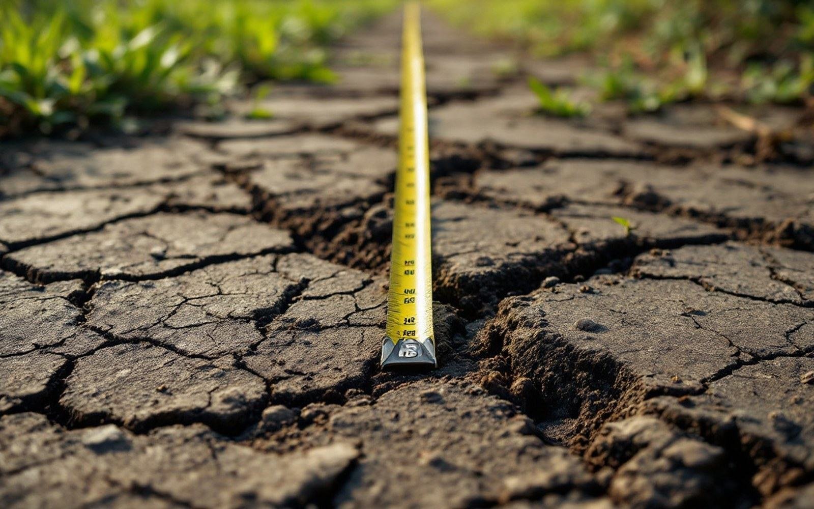
A transect is a line. The person walking it records what the line crosses — species presence, canopy height, ground cover — at fixed intervals or continuously along a tape. The method is fast, repeatable and honest about what it measures. What it cannot measure is what it skips.
Boundaries in nature are rarely walls. The edge where boreal forest gives way to open tundra in Siberia is often a mosaic: tongues of spruce following river corridors, open patches sitting over permafrost lenses, shrub tundra filling south-facing hollows. A single transect through that mosaic will record a transition, but where the transect crosses the transition depends entirely on where the line was placed. Shift it fifty metres and it may cross more forest than tundra; shift it a hundred metres and it may miss the transition entirely, recording pure tundra from end to end.
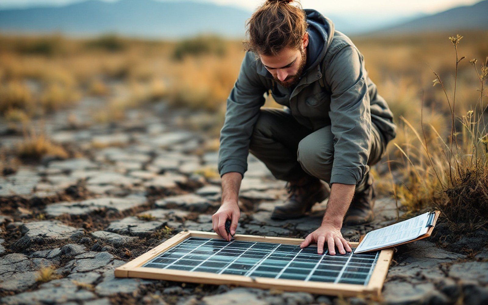
A quadrat fixes the square metre, so the same ground can be counted again years later. See: The people who stand on the line
This is the sampling geometry problem. Aridity index maps drawn from rainfall stations spaced eighty kilometres apart in the Sahel face the same arithmetic: the continuous gradient of vegetation is being read through a grid far coarser than the variation it is meant to capture. A transect placed between two sensing points adds resolution, but a single transect is still one sample from a distribution.
The fix ecologists reach for is replication across multiple parallel transects, combined with grid-based plot sampling — the quadrat lattice that sits perpendicular to a boundary rather than running along it. When the Scandes treeline has been mapped with sufficient transect density, patchiness at the scale of tens of metres becomes visible in the aggregate data even when no single transect captured it directly. The boundary stops looking sharp; it resolves into a probability surface.
The limitation is not a fault in the method. A transect does precisely what its geometry promises: it samples a line. The error is importing conclusions about area from a one-dimensional sample without accounting for spatial autocorrelation — how similar two points are as a function of the distance between them. Measure that, and you know how many transects you need. Skip it, and the map is confident about a pattern that the landscape may not actually contain.
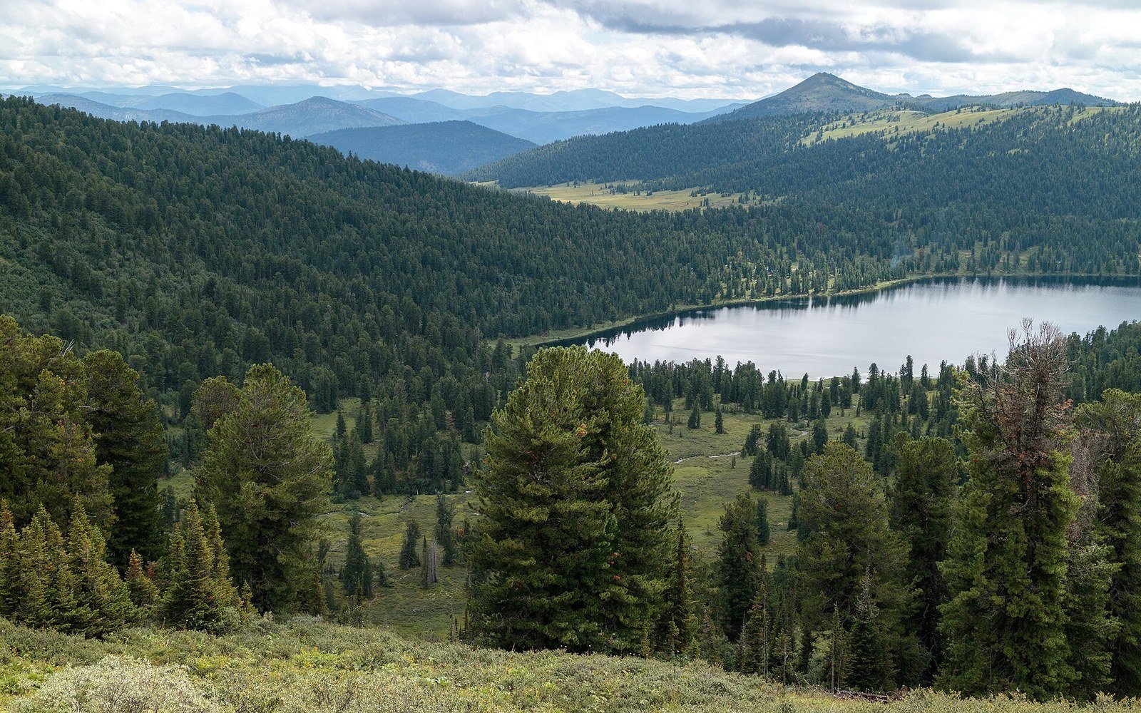
Boreal forest to the horizon, holding an enormous carbon store and a very small population. See: The largest land biome, and almost nobody in it
Photo: Ergaki, Taiga in Siberia, Dark coniferous forest, Sayan Mountains, Russia · Wikimedia Commons