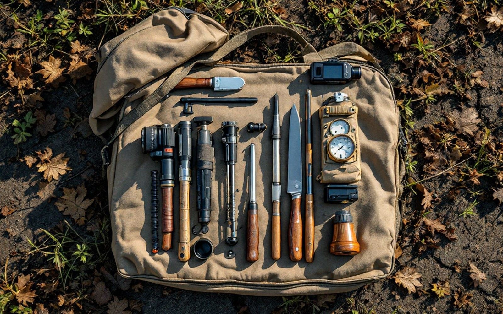
The Kit That Draws the Boundary
A quadrat is a frame — usually wire or lightweight aluminium, thrown or placed at intervals along a transect — and most of what ecologists know about where one plant community ends and another begins comes from sitting beside one and counting. Standard sizes run from 0.25 m² for low vegetation to 1 m² or larger for shrub surveys; the choice affects everything, because a frame that is too small misses the dominant species and one that is too large blurs the boundary. The Braun-Blanquet cover-abundance scale, developed in the early twentieth century and still used across European vegetation surveys, translates what you see inside a quadrat into a reproducible number — a single observer notation that a stranger can interpret decades later.
The soil auger comes next. A hand auger bores a column — typically 5 cm in diameter — to depths of a metre or more, and what comes up tells you whether the ground is peat, mineral, waterlogged or frozen. In the Scandes and across Siberia, where the permafrost boundary is a key control on what can root and where, researchers read the colour and texture of successive cores to map the active-layer depth across a slope. The instrument costs less than a day's field expenses; the column it extracts can settle arguments about why a treeline sits where it does.

A quadrat fixes the square metre, so the same ground can be counted again years later. See: The people who stand on the line
A hand lens — 10× is standard — looks like equipment that belongs in a Victorian naturalist's pocket, which is essentially correct. Its function is positive species identification on the spot, without drying or laboratory work. Moss species that define montane heath from boreal heath look identical at arm's length; under the lens, the leaf tip and cell pattern are diagnostic. Errors made at identification propagate through every quadrat that follows, so the lens is not optional kit — it is the checkpoint before anything gets written down.
Tape and ranging pole do the geometry. Distance along a transect has to be measured, not estimated, because position is what links a species record to a landscape and to every subsequent repeat survey. National vegetation classification surveys in Britain specify the exact placement and dimensions of each quadrat; you cannot retrospectively correct a boundary study if the locations were eyeballed. In open ground, a fibreglass tape over 50 or 100 m is sufficient. In forest, where a straight line is not always achievable, surveyors carry a compass bearing and a pole that marks the end of each measured segment.
GPS has done one large thing and one smaller thing to field ecology. The large thing is that every record now carries coordinates accurate to a few metres, so a vegetation boundary mapped in the Sahel in 2005 can be revisited and the difference measured rather than estimated. The smaller thing is that it has changed what notes get written: surveyors who once described their position in relation to a stream junction or a cairn now sometimes omit that description, which matters the one time the GPS receiver's epoch or datum differs from the map being used. Datum mismatch between WGS84 and local grids is a real source of positional error, and surveyors in the Scandes working against Norwegian national maps encounter it still.
Which leaves the notebook — paper, waterproof paper, or a ruggedised tablet — as the instrument that ties the other five together. A quadrat count that lacks the time, the observer's initials, the weather and the growth-stage of the dominant species is data of reduced value. The notebook is also the only item that records what the GPS and the auger cannot: the smell of waterlogging, the direction of the prevailing wind-shear in the canopy, the observation that the tape had to detour around a rock face. Røst's coastal surveys of seabird breeding habitat have long combined formal plot data with exactly these kinds of marginal notes, and the combination is why those records remain useful thirty years on.
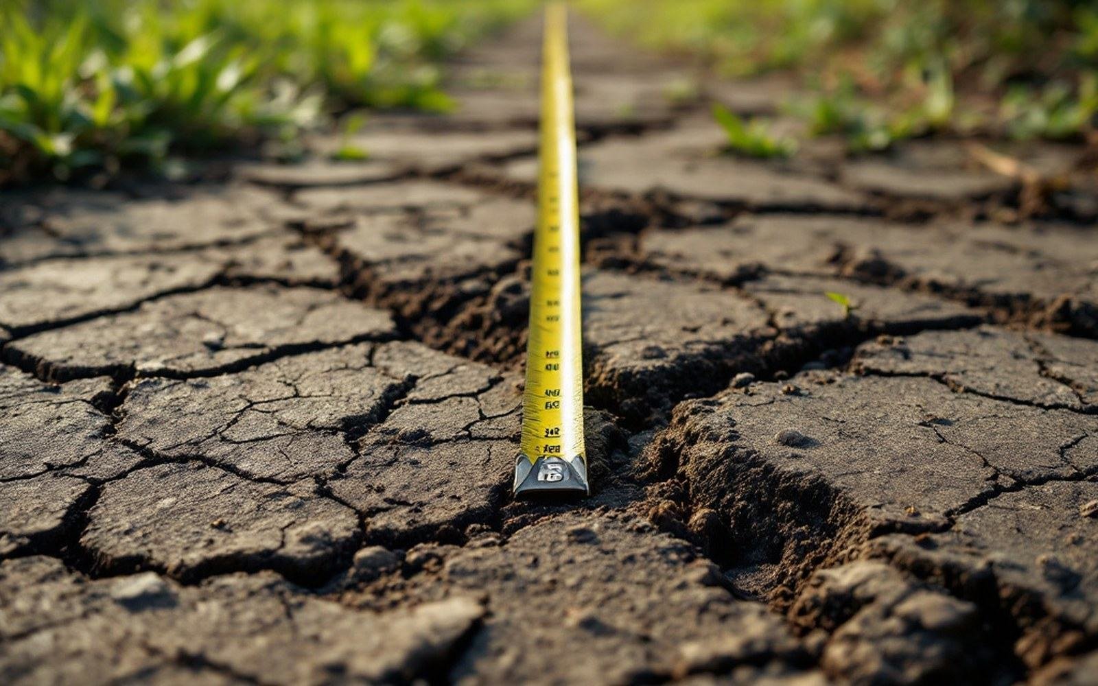
The tape samples a line. Whatever the line misses is not in the record. See: What a transect cannot see