The measurement before the map
A biome boundary is not discovered by satellite. It is established by someone walking slowly, pausing every few metres to crouch down and record what is growing at their feet. The result — a transect, a straight-line sample through a zone of change — is one of the oldest tools in field ecology, and it has changed surprisingly little since the early twentieth century, when plant sociologists in central Europe began dragging measuring tapes across moorland to describe where one plant community ended and the next began.
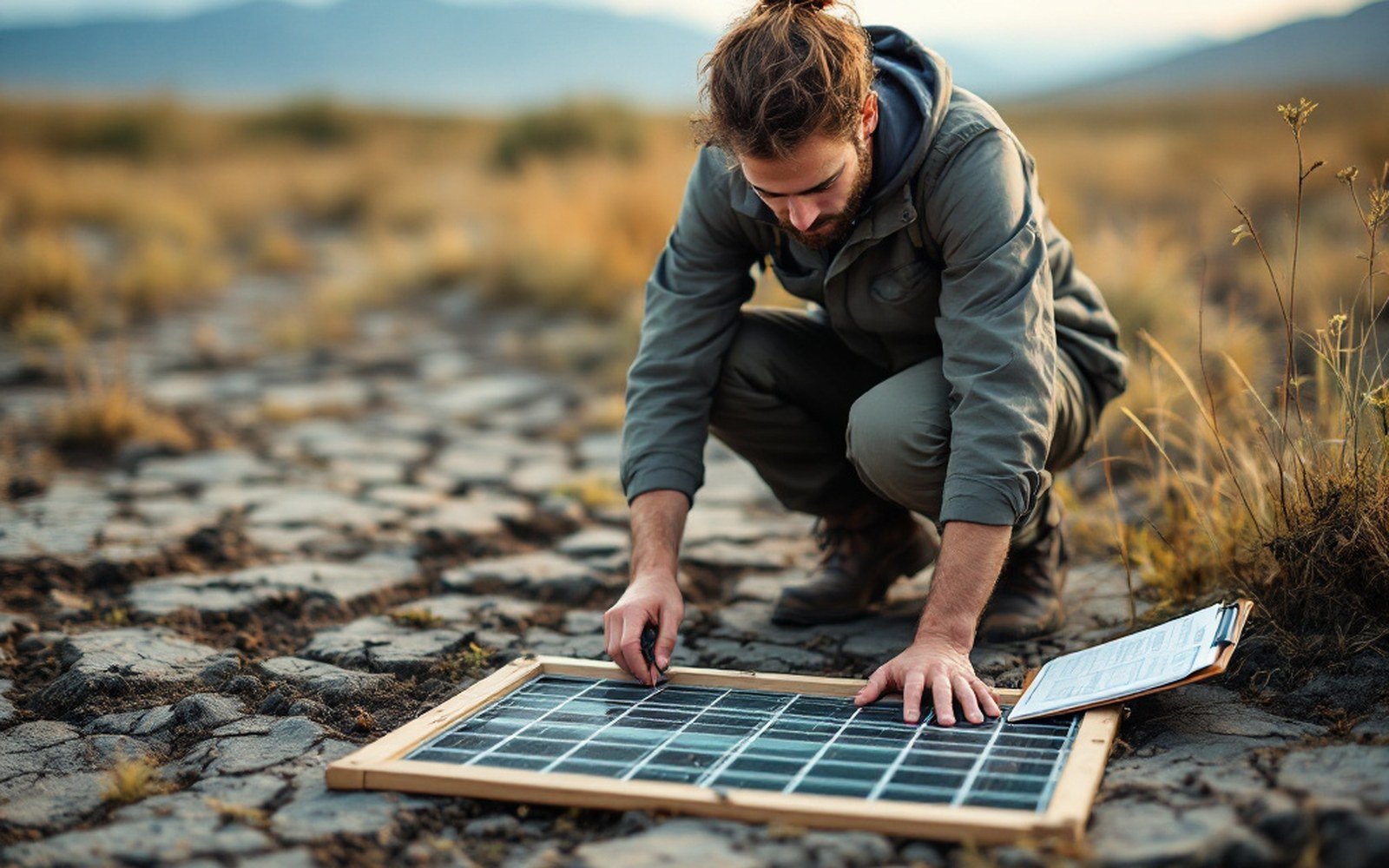
The mechanics are straightforward enough. A tape is laid across the ground. At fixed intervals — every metre, every five, every ten, depending on the resolution required — the surveyor notes the species present, their percentage cover, their height, whether they are actively growing or dormant. A quadrat, a small frame of known area, is often placed at each sample point to standardise what "here" means; without it, the human eye unconsciously expands toward interesting plants and shrinks away from bare ground. The transect forces honesty. It records what is at the point, not what seems representative.
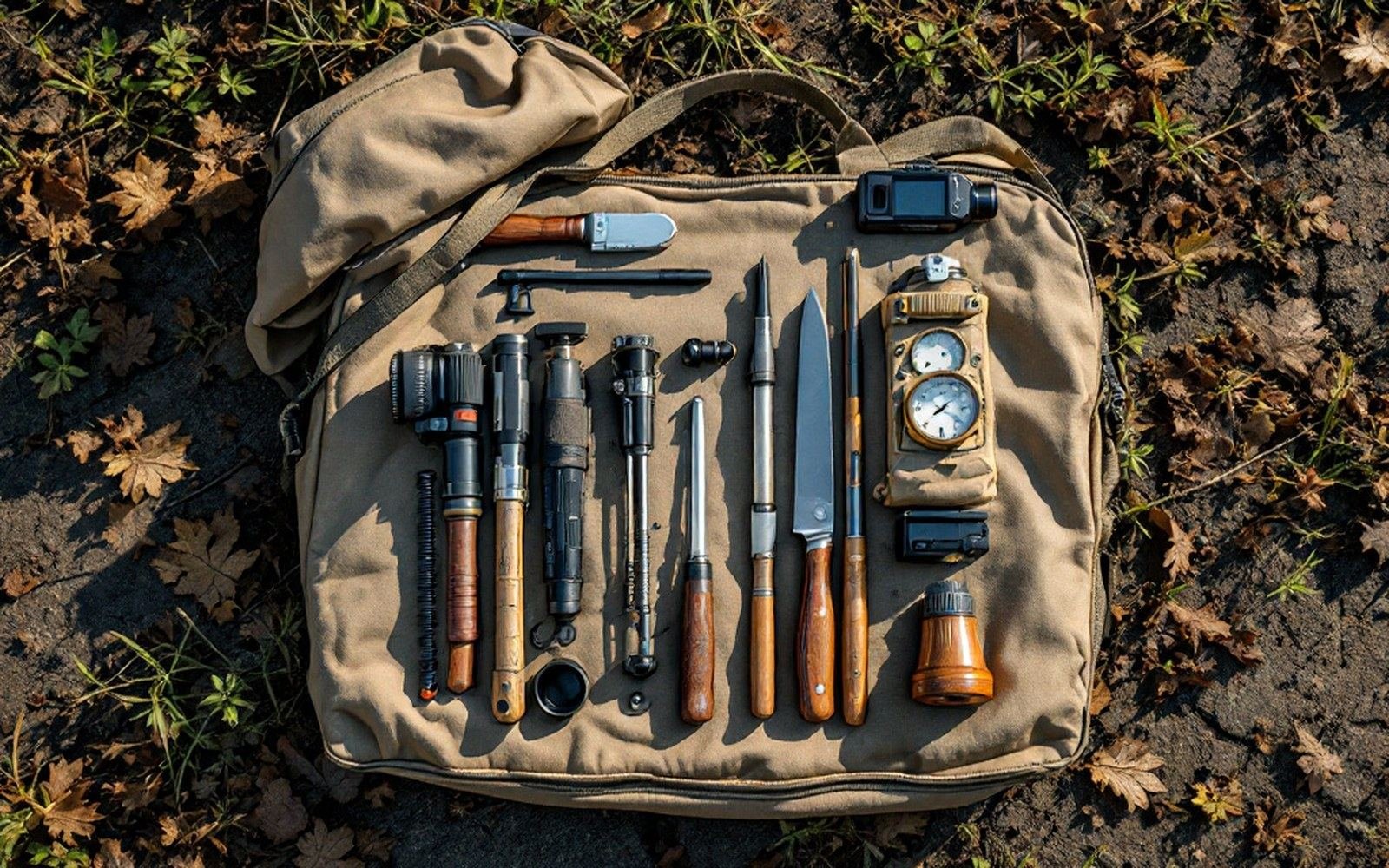
Quadrat, auger, hand lens, tape, GPS, notebook. Most of what is known about boundaries comes off this kit. See: Six things picked up in the field
Where the change happens fast — at a true ecotone, where, say, boreal spruce gives way to low heath over a vertical climb of fifty metres — even short transects reveal the transition sharply. Where change is gradual, as it is across the Sahel, the gradient can stretch hundreds of kilometres, and a single transect crossing it would need to be walked in stages over weeks. In both cases, the surveyor's job is identical in principle: stand at a point, record it faithfully, move to the next point.
Calibrating the body
The difficulty is not the concept. It is the calibration. Two surveyors walking the same transect on the same day routinely produce different percentage-cover estimates for the same vegetation, because eye estimates of cover are imprecise and observer-dependent. The solution, used since at least the mid-twentieth century and now standard in long-term monitoring programmes, is intercept recording: a fine pin or crosshair is dropped at each sample point, and only species that the pin physically touches are recorded. The pin does not have opinions. It hits a bent-grass leaf or it hits bare soil, and the difference between those two answers is the basis on which a boundary is later drawn on a map.
This matters more than it sounds. Treeline studies in the Scandes — the mountain spine shared by Norway and Sweden — have compared historical photographic records with modern transect data to track upslope advance over decades. If the original surveys used loose eye-estimates and the follow-up surveys use pin-intercept, the apparent shift in the boundary may be partly an artifact of method rather than of vegetation. Real boundary movement is on the order of metres per year in well-documented cases; observer bias can easily exceed that. The people who set up the protocols are, in this sense, as important as the people who walk the transect. A carelessly designed survey produces numbers that look like data but measure nothing stable.
In Siberia, where the larch forests approach the tundra across vast, roadless terrain, systematic transect surveys are logistically brutal. Surveyors work from river corridors, fly in by helicopter to establish baseline plots, and then return — sometimes years apart — to repeat measurements at the same stakes driven into the ground on the first visit. The stakes matter: without a fixed re-sample point, "the same transect" is a fiction. Repositioning a transect line even a few metres sideways in a patchy ecotone can change the recorded boundary substantially. The physical act of hammering in a marker and recording its GPS coordinates is as much a part of the science as any vegetation census.
What the numbers become
Once the raw transect data exist — species by species, point by point — the task of drawing a boundary begins. And here the work shifts from the field to the desk, and the choices multiply. Ecologists define a treeline operationally: the elevation or latitude at which trees, usually defined as woody plants exceeding two metres in height, reach a certain stem density per hectare. The exact thresholds vary by research group and by region, which is why treeline maps drawn by different institutions often disagree by tens of metres of elevation or tens of kilometres of latitude even when they have used the same underlying field data.
The aridity index that defines a desert's edge works the same way. It is a ratio — annual precipitation divided by potential evapotranspiration — calculated from meteorological station records and then interpolated across the landscape. Where the index crosses 0.05, the boundary of hyperaridity is drawn. But the station network is not continuous, the interpolation algorithm matters, and the year chosen for the calculation matters too. The boundary is real; the line is a decision.
The people who do this work — field ecologists, phytosociologists, vegetation surveyors, range scientists — rarely appear by name in the final map.
The intertidal boundary is unusual in that it can be checked physically twice a day: the tide draws the line, and the organisms that live near it are positioned by biological tolerances that can be measured independently in laboratory experiments. Even so, the work of establishing precise tidal zonation on a rocky shore requires someone in waterproof trousers to walk a transect from the splash zone to the subtidal, quadrat by quadrat, at enough points along the shore to account for aspect, wave exposure and substrate. The map is still built from somebody's field notes.
The people who do this work — field ecologists, phytosociologists, vegetation surveyors, range scientists — rarely appear by name in the final map. The boundary line on a published figure is attributed to a methodology and a dataset, occasionally to a lead author, almost never to the individual who knelt on wet peat at the forty-metre mark on a November morning and recorded Eriophorum vaginatum touching the pin. Yet the line goes exactly where it goes because of what that person wrote down. The act of standing on the boundary, pointing the pin at the ground, and calling it present or absent is the foundational measurement from which all the larger abstractions — biome, zone, ecotone, limit — are eventually constructed.
A well-run transect is a chain of verifiable observations. Any subsequent surveyor can return to the same stakes, repeat the same protocol, and test whether the boundary has moved. That repeatability is what separates a biome edge from an educated guess, and it depends entirely on the discipline of the person holding the tape.