A hillside as a cross-section of the continent
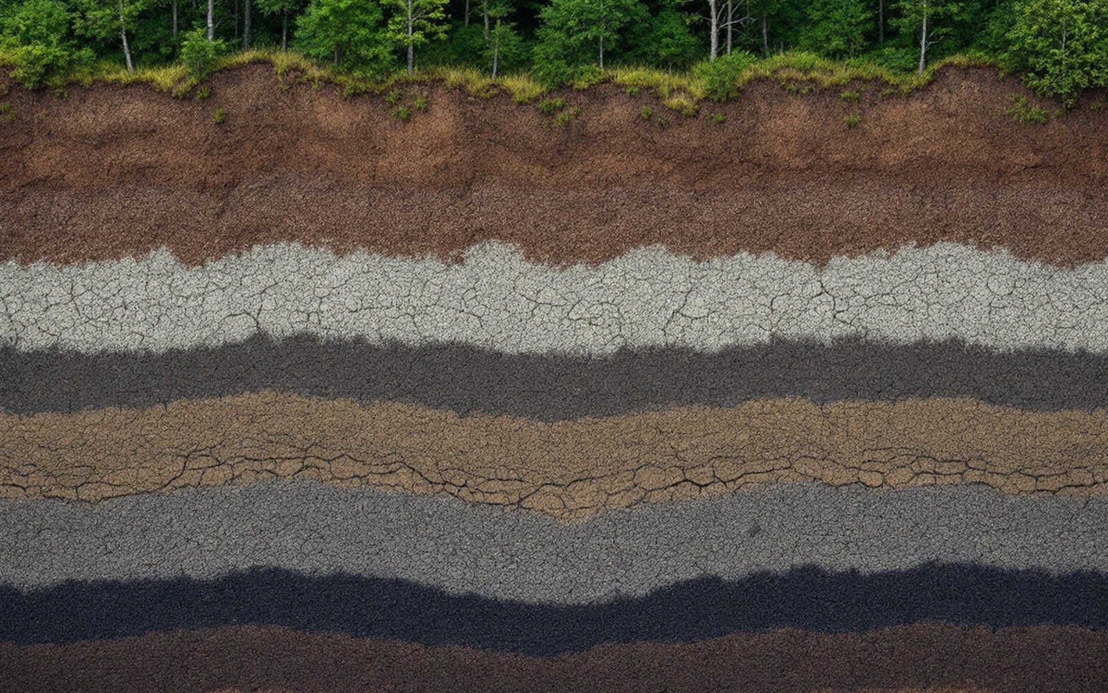
Step off a road in the Scandes — the mountain range running the spine of Norway and Sweden — and walk uphill. In four hundred metres of elevation gain you may pass through boreal forest, then a zone of scrubby birch and willow, then open fell, and finally, if you push far enough, bare rock and ice. The distance covered horizontally might be two kilometres. The latitudinal equivalent — the distance you would have to travel north across flat ground to cross the same vegetation sequence — is roughly one thousand kilometres. A hillside compresses a continent's worth of biome change into an afternoon's walk, and it does so with a fidelity to the underlying mechanism that surprises even experienced field workers the first time they measure it carefully.
The mechanism is heat: specifically, the accumulated warmth available to growing tissue during the frost-free season. The key metric is growing-degree days — the sum of mean daily temperatures above a base threshold (typically five degrees Celsius) across the growing season. That figure falls with altitude at a rate tied to the local lapse rate, typically around six degrees Celsius per thousand metres of ascent, though terrain, aspect and cloud cover all modulate it locally. A forested valley floor accumulating 600 growing-degree days per season might sit just three hundred metres below a ridge where the tally drops below 300, and that threshold — somewhere in the range of 600 to 1000 degree-days, depending on species — marks where closed-canopy forest can no longer reproduce itself. That is the treeline, and on a slope it is not a line so much as a compressed gradient whose width a person can walk in under an hour.
What the zones actually look like on the ground
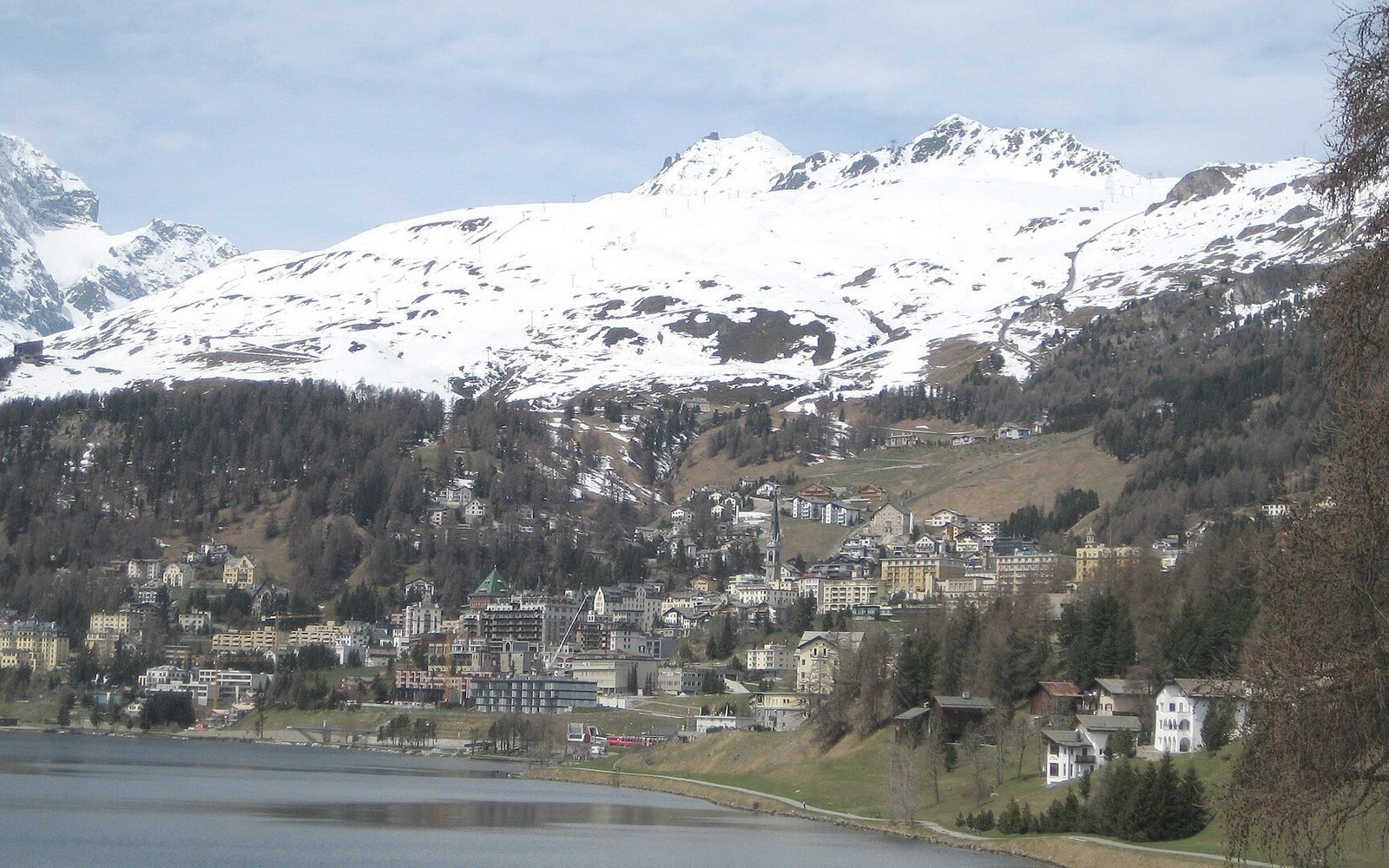
Stand in the boreal forest at the base of such a slope in midsummer and you are in a closed canopy of Norway spruce or Scots pine or, at higher latitudes, downy birch — dense enough to suppress understory light, warm enough that soil temperatures permit active decomposition. The litter layer here is deep and acidic; a quadrat thrown at random would return counts dominated by ericaceous shrubs, feathermoss and, in wetter patches, sphagnum. The forest feels homogeneous until you notice, perhaps two-thirds of the way up, that the canopy is thinning and the trees are shorter. This is not uniformity giving way to absence: it is a zone in its own right.
Ecologists call it the krummholz zone — from German meaning "crooked wood" — and it has measurable characteristics distinct from both the closed forest below and the open fell above. Trees here survive as individuals or small clonal clusters, their crowns skewed downwind, their effective height rarely exceeding the winter snowpack that insulates them from the worst desiccating wind and frost. Growth rings on krummholz stems counted under a hand lens are often so compressed they require a microscope to resolve individually. Height-to-age ratios that would mark a stressed sapling in the valley here represent century-old individuals. The zone can be ten metres wide or three hundred metres wide depending on local topography, and its position on the slope shifts measurably with aspect: on a south-facing slope in the northern hemisphere it sits higher by tens to hundreds of metres than on the north-facing slope immediately across a valley.
Above the krummholz the vegetation opens abruptly — or so it seems. A transect run with a point-intercept frame across that boundary shows something more structured: a decline in woody stem frequency over a distance that can be as short as fifteen metres. Beyond that threshold, the plant community changes state. Grasses, sedges and dwarf shrubs — crowberry, bilberry, alpine bearberry — replace the forest matrix. Bare mineral soil and frost-shattered rock begin to punctuate the cover. This is fell, or in Scandinavian usage, fjell: a wind-exposed, low-productivity surface where nutrient cycling slows to a pace set by freeze-thaw cycles rather than by biological decomposition.
Higher still — not always present, depending on mountain height — comes a zone where even fell vegetation fails. In the Scandes above approximately 1,600 to 1,800 metres, and in Siberia at much lower absolute elevations because latitude has already consumed growing-degree-day budgets, this is the nival zone: snow, ice, and bare rock, with vascular plant cover measuring less than five percent in a standard quadrat. In Antarctica this zone covers virtually the entire continent, with vascular plants confined to two species on ice-free coastal margins.
On the ground, the shift from spruce forest to krummholz takes twenty metres on a calm afternoon and feels like walking through a door.
How to measure what you're seeing
A field worker producing a zonation profile from a slope like this will typically combine several methods. The transect is the primary tool: a tape or GPS tracklog run straight up the fall line, with vegetation recorded at regular intervals — say, every five metres — using either a point frame or a relevé, a structured plot record of species presence and cover. The transect records where things are; a parallel set of temperature loggers or a downloaded gridded dataset gives the heat totals that explain why they are there.
Aspect correction is essential. The difference in solar radiation between a south-facing and a north-facing slope at 60° N latitude can exceed 30 percent on an annual basis, which means a zonation map built from a single transect up one face of a ridge will misrepresent the other face by a margin large enough to shift predicted treeline position by a hundred metres or more. Field surveys that have produced the most useful data — the long-running Nordic monitoring networks among them — sample multiple aspects systematically and record slope angle and canopy openness using hemispherical photography or ceptometers that integrate light interception across the sky dome.
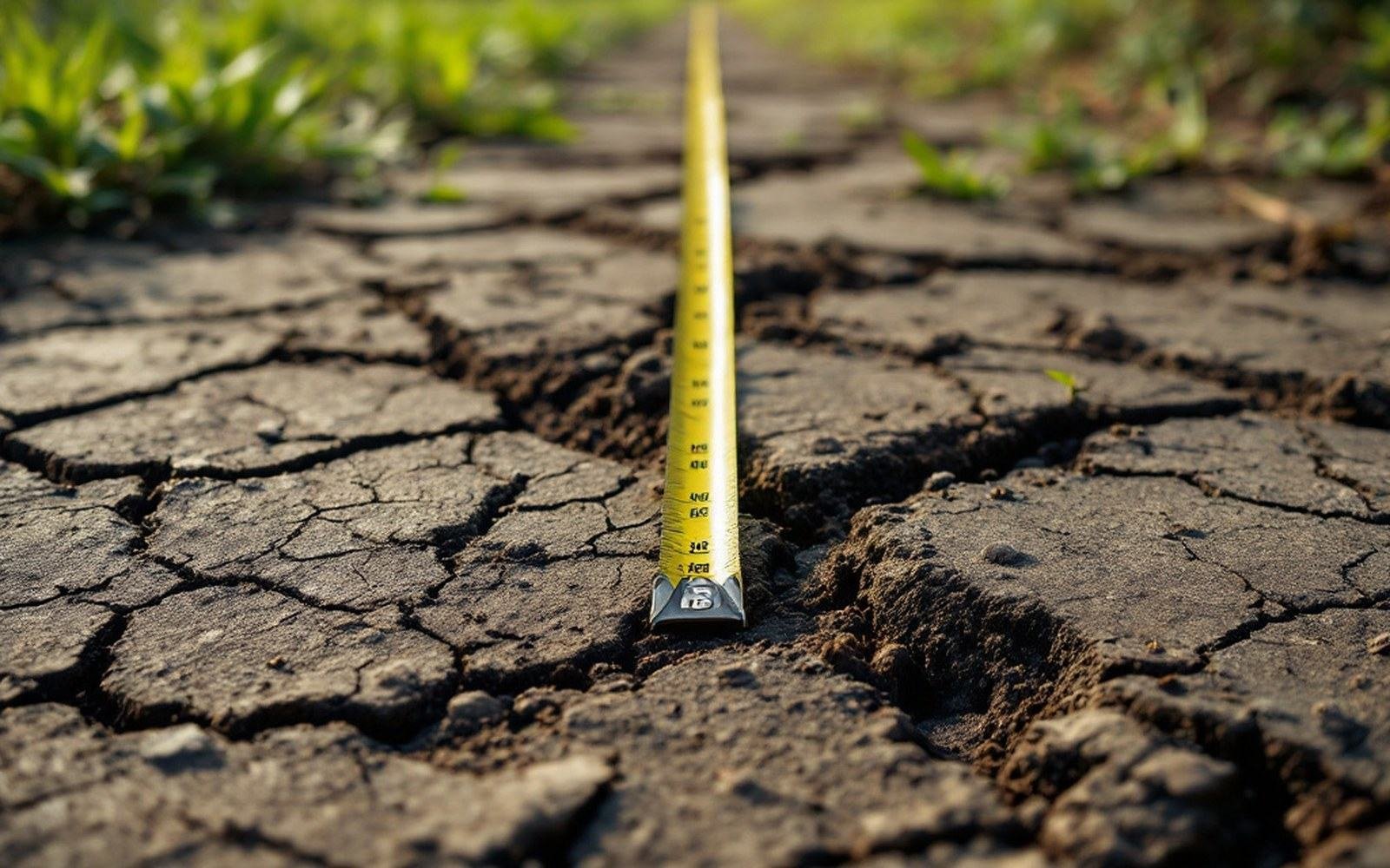
The tape samples a line. Whatever the line misses is not in the record. See: What a transect cannot see
Permafrost adds a further layer. In Siberia and the sub-Arctic, permafrost underlies much of the landscape that would otherwise fall in the boreal zone, and its presence forces the active layer — the thin surface that thaws each summer — to bear the entire biological load. Tree roots cannot penetrate into perennially frozen ground, so the treeline in those regions is set as much by soil physics as by atmospheric heat budgets. A researcher measuring altitudinal zonation there must augment the standard transect with an auger or frost probe to record active-layer thickness, which can vary by half a metre across a few paces of microtopography and can determine whether a given patch supports a larch or nothing at all.
The sharpness of the transitions is what stops most visitors. On a map at any useful scale, these zones appear as bands — broad, gradual, almost geological in their patience. On the ground, the shift from spruce forest to krummholz takes twenty metres on a calm afternoon and feels like walking through a door. The shift from krummholz to open fell can be faster still, partly because wind abrasion and winter desiccation create a feedback: less tree cover means more wind, means less cover. The mechanism that drives the boundary also amplifies it. Measuring where it sits is straightforward; explaining the sharpness in a model remains an active area of work for vegetation ecologists who put numbers to what any careful walker can see.