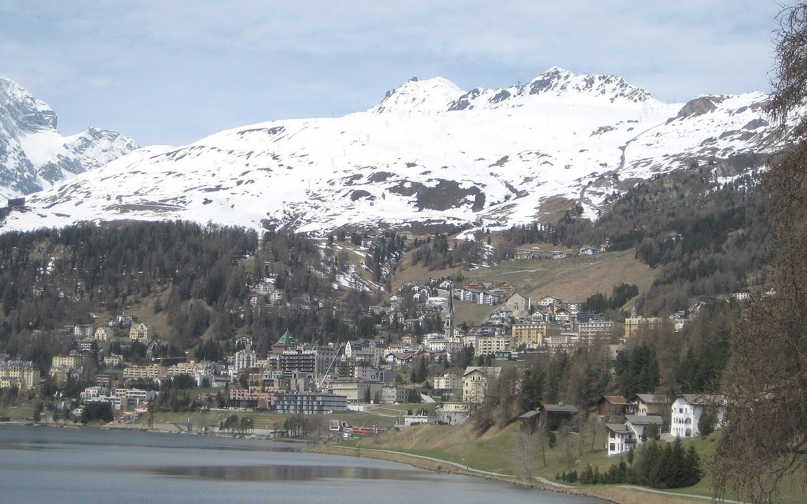
The wrong explanation has a long history
The obvious story is cold: trees grow where it is warm enough and stop where it is not, so the treeline marks the onset of a lethal winter. That story feels right and is essentially wrong. Subarctic winters are brutal across a broad swathe of land, yet the treeline does not track minimum temperature. It tracks the growing season — specifically, the number of weeks each summer when the soil surface is warm enough to sustain meristematic cell division in roots and cambium. The Swiss plant ecologist Christian Körner, working from decades of field data, placed the critical threshold at a mean growing-season soil temperature of around 6.7 °C, measured at about ten centimetres depth. Below that figure, even a living tree struggles to add new tissue. The winter can be savage or mild; if summer warmth never crosses that line for long enough, trees do not form a closed canopy.
This reframing changes everything about how you read the distribution. In the Scandes — the mountains running through Norway and Sweden — treeline altitude varies considerably within a few degrees of latitude, because aspect, slope drainage and cloud cover interact to lengthen or shorten the effective growing season independently of position on the globe. A south-facing slope in partial rain shadow can carry birch woodland hundreds of metres higher than a north-facing slope across the valley. Same latitude, same nominal climate zone, different growing-season soil temperature budget, different treeline. The same logic applies to the island of Røst, off the Norwegian coast, where maritime moisture and persistent cloud suppress summer warmth enough that the treeline is effectively at sea level despite a latitude similar to parts of interior Siberia where forest extends to several hundred metres elevation.
Closed canopy, thinning stems, open ground: three zones inside a few hundred metres of climb. See: One slope, four hundred metres of climb
What gets measured and how
Identifying the treeline in the field is not as simple as noting where the last tree stands. Ecologists distinguish at least three boundaries: the forest line, where continuous closed canopy ends; the treeline itself, where upright trees of any spacing end; and the tree species line, where even prostrate, krummholz-form individuals of a tree species — wind-deformed shrubs that are technically trees — finally disappear. Each boundary sits at a different elevation, and which one a survey is measuring matters enormously for comparing datasets across studies or decades.
A standard approach is to walk a transect up the slope and record canopy height, stem diameter and species at fixed intervals, typically with quadrats placed at each station. In the Scandes surveys, researchers often use two-metre height as the criterion for "tree" in a functional sense, because individuals below that height are sufficiently sheltered by snow cover in winter that they are not exposed to the full above-canopy energy regime. A stem that is two metres tall at sixty degrees north is genuinely testing its thermal limits in the open air. The GPS coordinates of the uppermost qualifying individual on a transect, recorded across multiple transects around a massif, yield a mean treeline elevation for that site that can be repeated in subsequent surveys and compared to a baseline.
Soil temperature is the harder measurement. Installing thermistors at ten centimetres depth, logging data through a full growing season, and retrieving functional instruments months later in remote terrain is slow, expensive and attrition-prone. Most long-term records come from a modest number of instrumented research sites: patches of the Scandes, valley systems in the Alps, some transects in the Rockies and in Siberia, a few sites in southern South America. Where instrument records do not exist, researchers proxy the soil temperature from air temperature series using known empirical offsets — a method that works when vegetation cover and snow-lie are similar across sites but introduces uncertainty when they are not, because thick moss or late snow cover insulates the soil and decouples its temperature from the air above.
Permafrost adds a further complication at high latitudes. In parts of Siberia and in subarctic Canada, permafrost — defined as ground remaining at or below 0 °C for at least two consecutive years — limits rooting depth to the seasonally thawed active layer above it. A thin active layer above ice-rich permafrost can mean that soil temperatures briefly cross the 6.7 °C threshold at the surface while remaining too shallow and waterlogged for structural root anchorage. Here the treeline is controlled by a combination of thermal budget and physical substrate, and the two factors are not easily disentangled in the field record.
The most direct demonstration that winter cold is not the controlling variable comes from comparing interior continental sites with maritime ones at similar latitudes.
Why the treeline zigzags at the same latitude
The most direct demonstration that winter cold is not the controlling variable comes from comparing interior continental sites with maritime ones at similar latitudes. Interior Siberia experiences winter minima that kill exposed plant tissue outright for months on end, yet its boreal forest extends further north than almost anywhere on Earth, because the continental climate also delivers warm, prolonged summers with sufficient solar input to heat soils past the threshold. The Siberian larch, Larix sibirica and Larix gmelinii, is the functional edge species there, its deciduous habit shedding needles before the worst cold arrives and so reducing desiccation damage — but the key point is that these larches reach latitudes above 72 °N in some valley systems precisely because summer warmth, not winter severity, is the permissive variable.
Compare that with the Atlantic coast of Norway or southern Greenland, where the boreal forest is absent or compressed to a thin belt. Maritime climates moderate winter minima, so trees do not freeze to death — but they also suppress summer maxima and shorten the period of soil warming by maintaining persistent cloud and maritime air masses. The thermal budget for growth simply does not accumulate. A tree at Røst is not killed by winter; it is never warm enough for long enough to build the structural wood that lets it stand tall and compete for light.
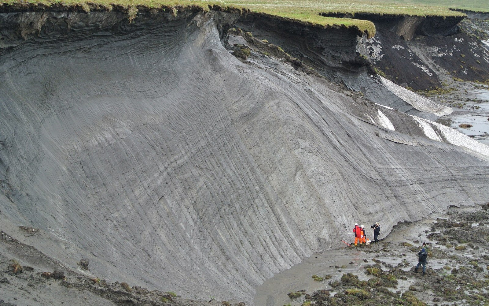
Altitude does the same thing at a finer spatial scale. Climb a mountain and the growing season shortens at roughly one week per hundred metres in mid-latitude ranges — a rule of thumb, not a constant, because local topography, aspect and cloudiness all modify the rate. The treeline on a given massif sits roughly where that shrinking season crosses the threshold. On the south face of a massif in the Scandes, where solar angle and drainage conspire to extend the warm period, the treeline can be three or four weeks of growing season higher than the north face. That translates to a visible difference in treeline elevation of a hundred metres or more, a gap easily seen from a distance and precisely measured on a transect.
The treeline, read this way, is essentially a contour of accumulated summer warmth, bent and pulled by every local feature that advances or delays soil warming. Winter is background; summer is the margin. The line is drawn not where the cold begins but where the warmth runs out.