The mechanism in the grass
Walk into an African savannah in the dry season and the logic of the landscape is visible. Grass fills the spaces between trees, and those trees are short, fire-scarred and spaced far enough apart that the canopy never closes. That spacing is not an accident of rainfall or soil. In many savannahs the mean annual precipitation is perfectly capable of supporting closed woodland — in parts of West Africa and northern Australia, the rain budget that falls on savannah country is the same rain budget that falls on woodland fifty kilometres away. Rainfall sets a ceiling on what vegetation is possible. Fire and grazing decide which possibility is realised.
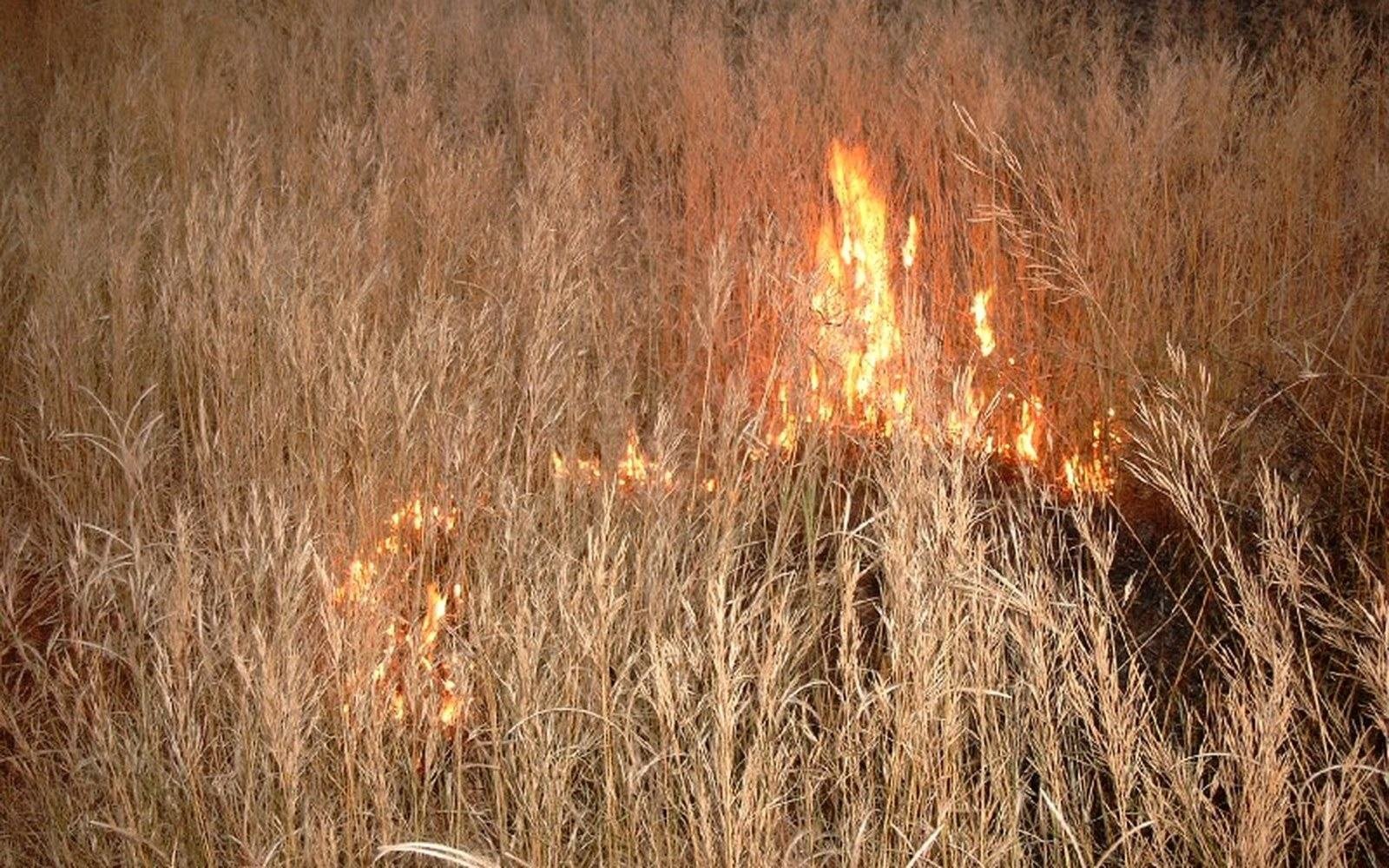
The mechanism runs through the grass layer itself. When sufficient fine fuel accumulates — typically after one or two growing seasons without burning — a fire hot enough to kill tree seedlings and top-kill saplings will spread across the landscape. A sapling with a stem diameter below roughly two to three centimetres is vulnerable to cambium damage at temperatures that the grass fire easily achieves. Larger, thicker-barked individuals survive, but they have typically spent years in the fire trap: repeatedly burned back to the rootstock, sending up new shoots, and burned again before those shoots can thicken past the threshold. The net effect is a structural ceiling on canopy recruitment. The grass layer both fuels the fire and recovers from it faster than trees can establish — grasses resprout from meristems at or below the soil surface within days of a burn, while tree seedlings must regrow from scratch.
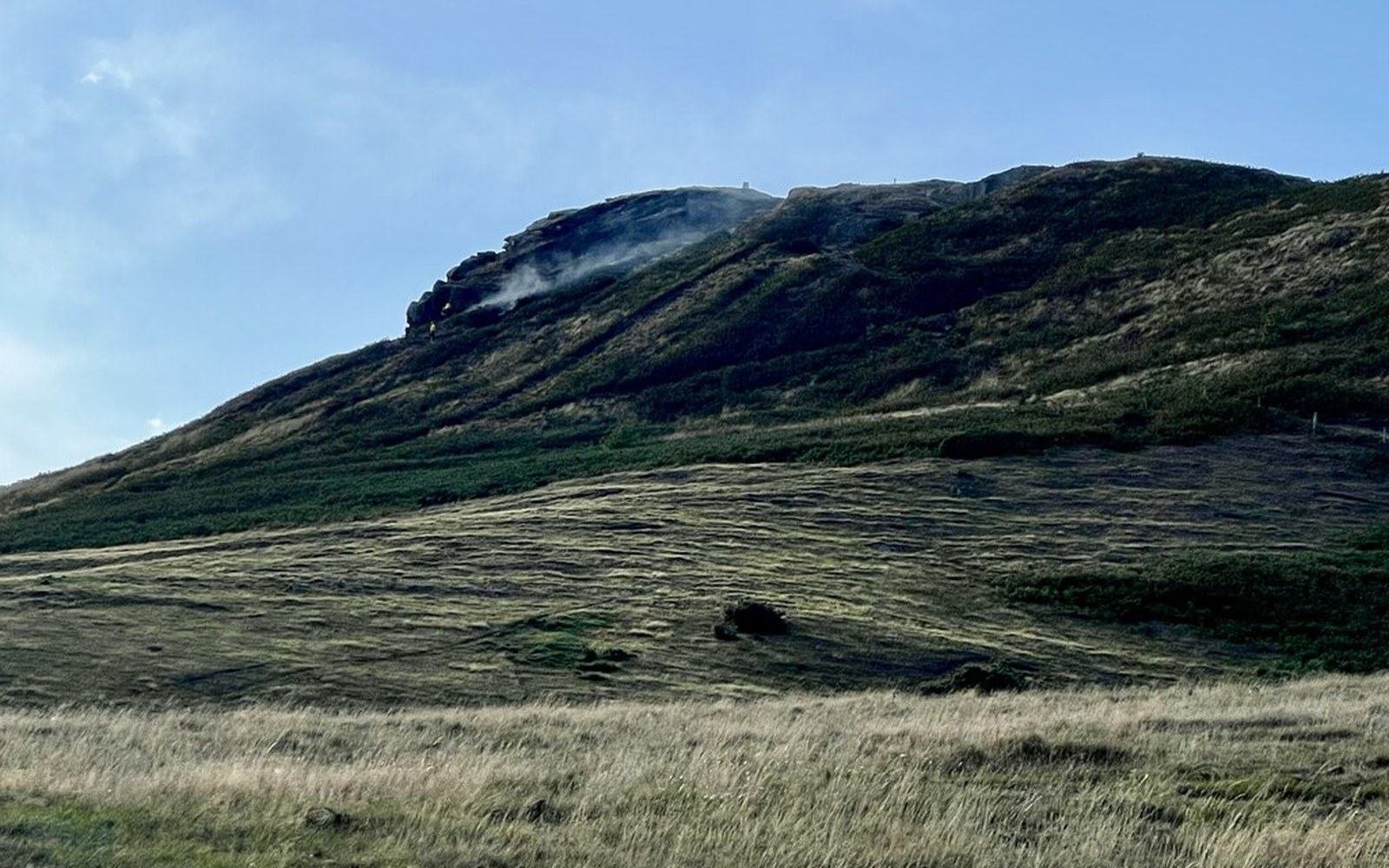
Two seasons without fire is enough to change what a grassland’s seed bank can produce.
Photo: Grassland fire - geograph.org.uk - 8144850 · Wikimedia Commons
Herbivores do a different but complementary job. Large grazers — wildebeest, buffalo, zebra in East African systems; kangaroos and cattle in Australian ones — reduce the standing grass biomass before it can cure and carry a fire. Heavy grazing in a given patch can drop fuel loads below the threshold needed for fire spread. This might sound like it gives trees a window of escape, and for a season it does. But sustained grazing also suppresses the grass competition that tree seedlings face, creating a more complex outcome: light grazing tends to increase fire frequency and tree suppression, while very heavy grazing can reduce fire and allow some bush encroachment, a shift visible across degraded pastoral landscapes in the Sahel and East Africa. The point is that the two disturbances interact rather than act in simple parallel, and removing both simultaneously is the clearest experiment in what savannah becomes by default.
What the exclusions show
That experiment has been run, deliberately and accidentally, in enough places to yield a consistent result. The classic deliberate version is the long-term exclosure: a fenced plot from which both fire and large herbivores are excluded. Studies in South African Kruger National Park, replicated at sites across eastern and southern Africa, show woody cover increasing measurably within five to ten years of exclusion, with closed canopy conditions developing over two to three decades depending on rainfall. In the Cerrado of Brazil — the world's most biodiverse savannah, covering roughly two million square kilometres — experimental plots protected from fire show a shift toward woody-dominated vegetation within years, while burned plots retain the open structure characteristic of that biome.
The accidental experiment is pastoral and agricultural abandonment. Across the West African Sahel and the Brazilian interior, areas where land use has shifted away from burning and grazing show documented increases in woody cover, a process often called bush encroachment or, where it is analysed from satellite data, "greening". That greening is sometimes reported as a straightforward increase in vegetation — which it is — but it is also a structural shift away from open savannah and its grass-dependent fauna. The distinction matters for anyone trying to map biome extent from remote-sensing data: a dense thicket of shrubs and the original open grass-tree matrix can return similar reflectance signatures.
The threshold at which fire switches from suppressing trees to being unable to spread is itself measurable. Field ecologists working in southern African and Australian systems have documented the grass biomass needed to carry a fire capable of killing seedlings: approximately 1,500 to 2,000 kilograms of dry matter per hectare is a widely cited figure for spreading fires in mesic savannahs. Below that, fire becomes patchy, losing the continuity that keeps canopy recruitment in check. This is why the fire–grass–tree feedback is self-reinforcing: open canopy allows light to reach the ground, promoting grass growth, which builds fuel, which supports fire, which suppresses trees, which maintains the open canopy.
Measuring the line between states
Quantifying where savannah ends and woodland begins requires the same field methods used across other boundary problems: transects and quadrats laid through the transition zone, recording canopy cover, basal area, and grass biomass at regular intervals. A widely used operational threshold distinguishes savannah from woodland at ten percent canopy cover, with open woodland starting around forty percent; these are the values used in many global vegetation classifications, including those underlying the IGBP land-cover scheme. But the line on the ground is rarely sharp. What ecologists typically find is a zone of coexistence — savannah tree densities that are genuinely bistable, capable of tipping in either direction depending on disturbance history — rather than a clean boundary.
Dendrochronology adds a temporal dimension. By coring savannah trees and reading their annual growth rings, researchers have been able to reconstruct decades of fire history from the scars and suppression events recorded in the wood. In Australian woodlands and southern African systems, these records show episodic escape from the fire trap during years when fuel loads dropped below the continuity threshold — drought years, or years of unusually heavy grazing pressure — followed by accelerated growth once stems passed the critical diameter. The critical diameter itself varies with species and bark thickness; for the broad-leaved trees that dominate moist African savannahs, it falls between two and five centimetres for most common species.
Remote sensing has made it possible to track canopy cover change across savannah biomes at continental scale.
Remote sensing has made it possible to track canopy cover change across savannah biomes at continental scale. Analyses of multi-decade Landsat records in Australia and Africa detect measurable increases in woody cover in areas where fire management has lapsed, and measurable rollback where fire has been reintroduced systematically — as has happened in parts of northern Australia under land management programmes that restored regular burning to country where it had been suppressed for decades. The signal in the satellite record is consistent with the mechanism documented in the field: fire frequency and canopy cover move in opposite directions, with a lag of years to a decade between the disturbance history and the structural response.
Savannah, read this way, is less a biome defined by what its climate allows and more a biome defined by what its disturbance regime prevents. The trees are present in seed, in sapling and in rootstock; the grass layer is present in fuel; the fire is present in the lightning strike or the deliberate burn. Strip away the burning and the grazing and watch which possibility the rainfall budget actually delivers.
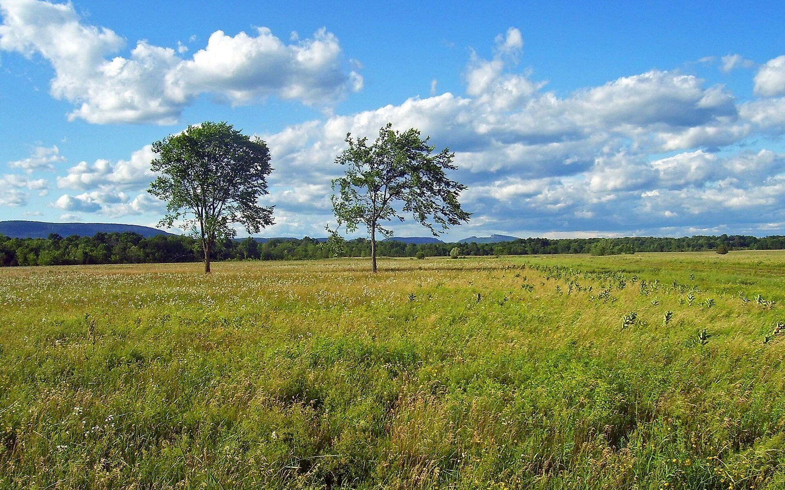
The same growth form as savannah under a different rainfall regime and a different fire return. See: Temperate grassland, and why it is not savannah
Photo: Shawangunk Grasslands NWR · Wikimedia Commons