The tide as a measuring instrument
Most habitat boundaries shift over decades, tracked by repeat transects and compared against archive photographs. The intertidal boundary moves on a six-hour cycle, driven by the gravitational pull of the Moon and, to a lesser degree, the Sun. At its upper reach it is a line of dried salt and desiccated wrack; at its lower edge, a frontier between air and permanently submerged seafloor. Between those two limits, every organism living on the rock is a record of how long that particular surface is exposed to air, wave force, ultraviolet radiation, and temperature extremes.
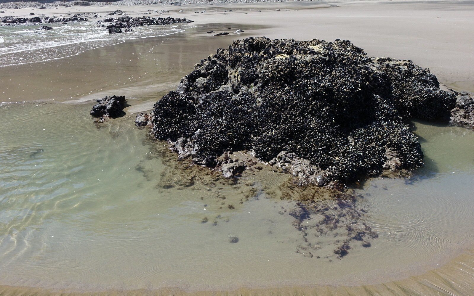
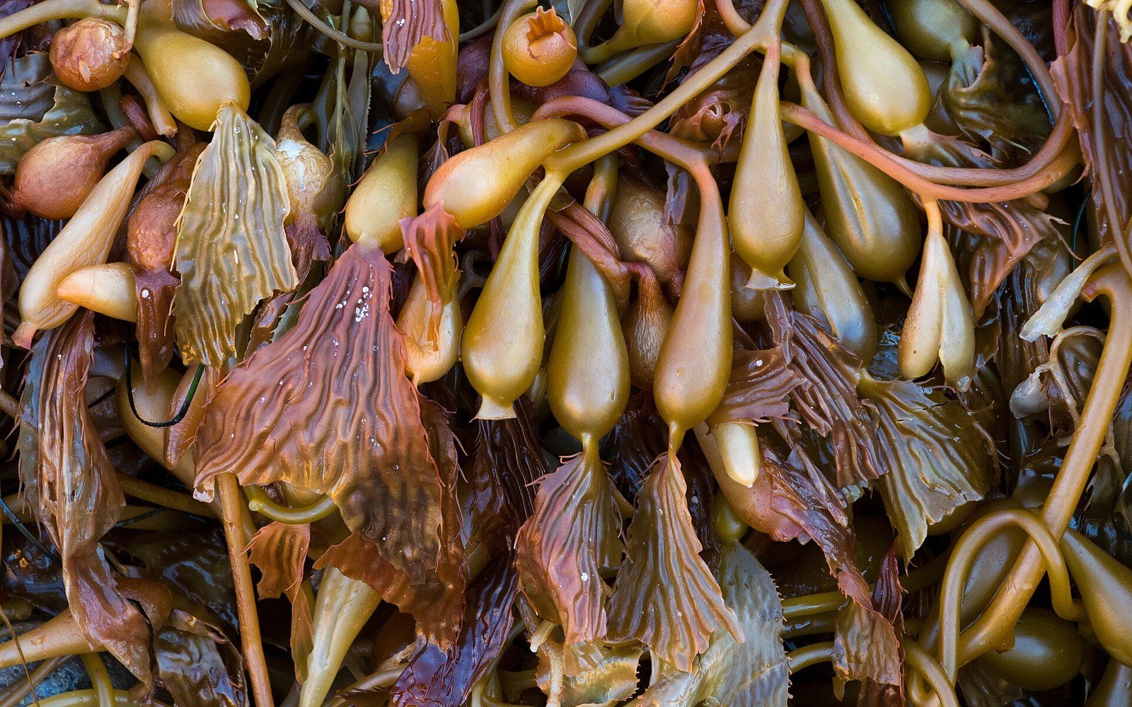
The zones are not arbitrary. Ecologists reading a rocky shore transect find them stacked in a consistent sequence wherever hard substrate meets a tidal coastline: a splash zone above the high-tide mark that wets only during storms; a high-intertidal band dominated by periwinkles and barnacles; a mid-intertidal zone of mussels and fucoid algae; a low-intertidal fringe of kelp and anemones that tolerates only brief aerial exposure. Each band is defined by its species' tolerance of desiccation — the hard physiological ceiling that prevents organisms from simply migrating up the shore.
What sets the upper and lower limits
For any intertidal species, two separate boundaries operate simultaneously. The upper limit is set by physiology: how long a barnacle can seal its operculum against water loss, how many hours a mussel can sustain anaerobic respiration before acidosis kills it. The lower limit is set by biology — predation and competition from subtidal species that cannot survive even brief air exposure. Intertidal zonation is therefore the spatial product of two different forces acting in opposite directions from either end of the shore.
Tidal range controls how compressed or expanded those bands become on any given coast. In the macrotidal Bay of Fundy, where the range exceeds fifteen metres, intertidal habitat stretches for hundreds of metres of horizontal distance; on a microtidal Mediterranean coast, the same biological zones are squeezed into a vertical band of less than half a metre. The organism's physiology is the same; the geometry changes with the ocean basin.
Wave exposure complicates the geometry further. On exposed headlands, spray carries salt and moisture well above the astronomical high-tide mark, pushing barnacle colonisation higher than tidal tables would predict. On sheltered shores the splash zone shrinks. This means the biological boundary and the physical tidal boundary are not identical — the organisms integrate wave energy into their distribution in ways that a tide gauge alone cannot capture.
Reading the record
Fieldwork on the intertidal uses a simple but disciplined method: a tape run vertically from a fixed benchmark down to chart datum, with quadrats positioned at measured vertical intervals to count species cover and density. The vertical position of every quadrat is then corrected against the published tidal frame, converting raw elevation into predicted hours of immersion per tidal cycle. When that dataset is plotted, the zone boundaries appear as sharp inflection points in species abundance — not gradients, but steps, because the physiological tolerances of dominant species are genuine thresholds.
What makes intertidal zonation scientifically useful beyond its own habitat is precisely this resolution. The shore is a natural experiment in environmental gradient: temperature, desiccation, salinity, UV dose and wave force all change across a few metres of vertical relief. A researcher can sample multiple points along that gradient in a single low-tide window and know the exposure history of each surface from published tidal predictions. No other habitat boundary offers that combination of precision, accessibility, and natural replication at every similar shore around the world — from the sub-Antarctic islands off Tierra del Fuego to the boulder shores of Røst in the Norwegian Sea, the same physical logic produces the same banded architecture, calibrated fresh by the tide every six hours.
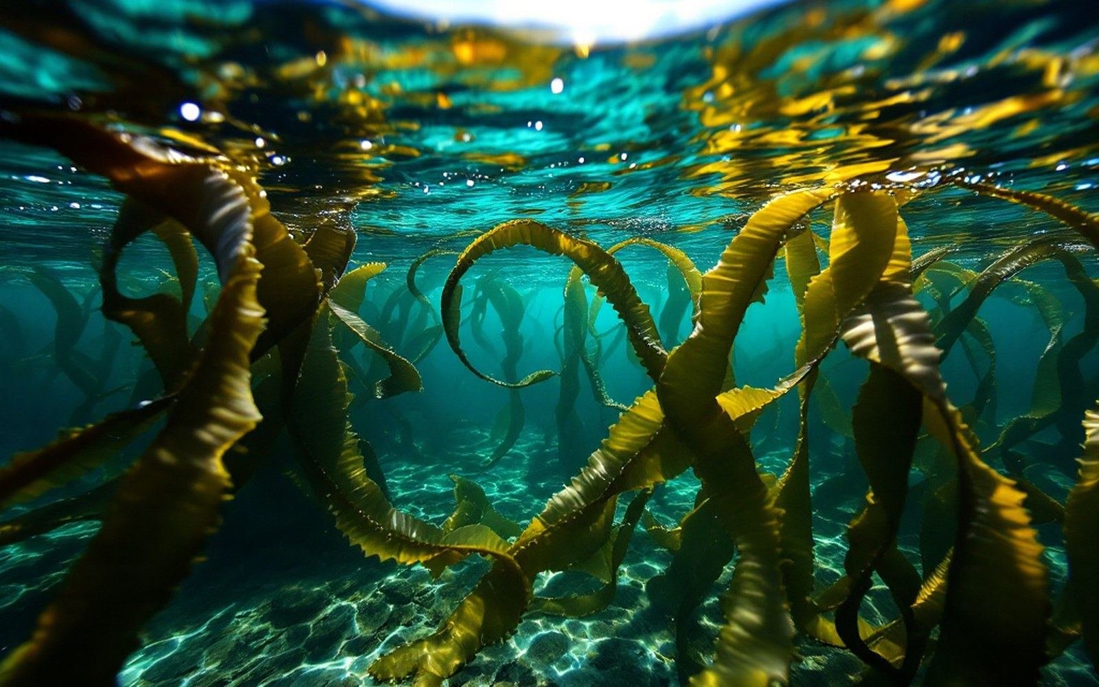
Giant kelp holds its blades near the surface with gas floats and rebuilds the whole canopy each season.