The belt around the world
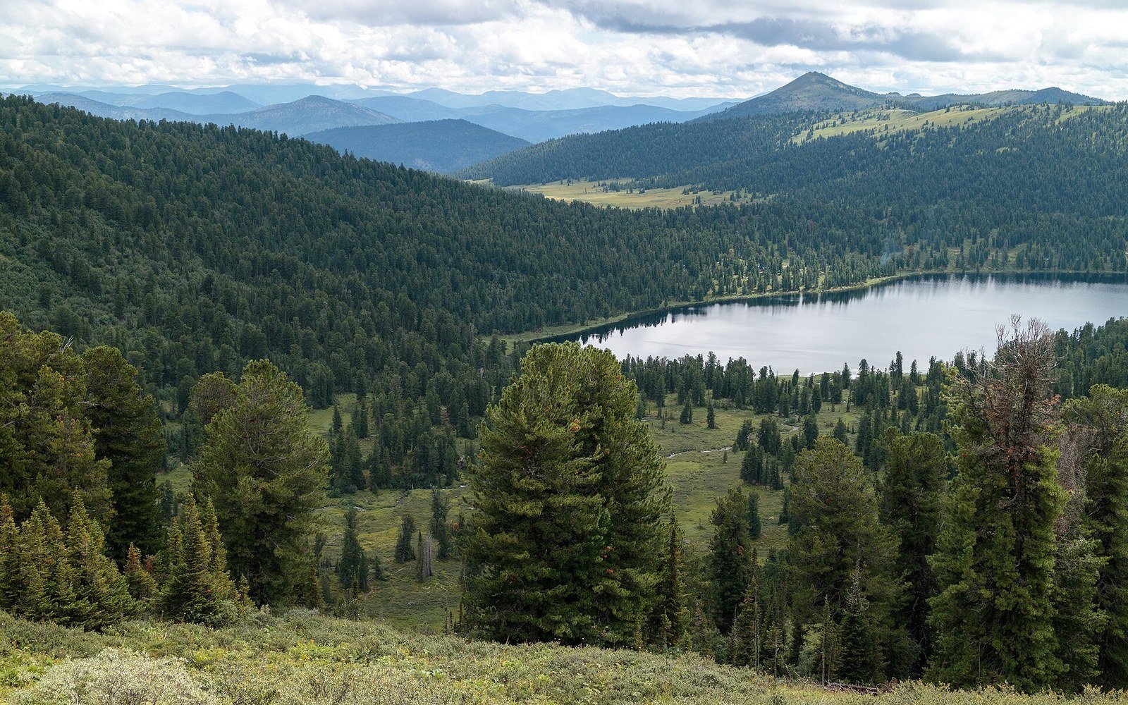
The boreal forest — taiga in Russian, a word the scientific literature uses interchangeably — runs in an almost unbroken band across northern Canada, Alaska, Scandinavia and Siberia, covering roughly 11 million square kilometres. That is about 29 percent of all forested land on Earth. No other land biome comes close in total area. It sits between the tundra to the north, where the growing season collapses below the threshold trees need to survive, and the temperate mixed forest to the south, where warmth and competition change the species composition entirely.
The structure is dominated by a short list of genera: Picea (spruce), Pinus (pine), Larix (larch) and Abies (fir), with Betula (birch) and Populus holding disturbed ground. In the continental interior of Siberia, Dahurian larch (Larix gmelinii) covers more area than any other tree species on the planet, and does something most boreal conifers do not: it is deciduous, dropping its needles each autumn above permafrost that would kill a root system forced to stay active through winter.
A thin population above a thick carbon store
The human density across the boreal is striking in its absence. Canada's boreal zone — about 552 million hectares — holds fewer than 4 million permanent residents, a figure that includes small Indigenous communities, mine towns and the scattered infrastructure of a resource economy. Russia's west Siberian taiga is similarly empty; cities sit along the river corridors, and the forest between them is walked by almost no one. The Scandes, the mountain spine of Norway and Sweden, carry a boreal fringe that reaches the coast at places like Røst on the Lofoten archipelago, where the tree zone gives way abruptly to exposed maritime heath.
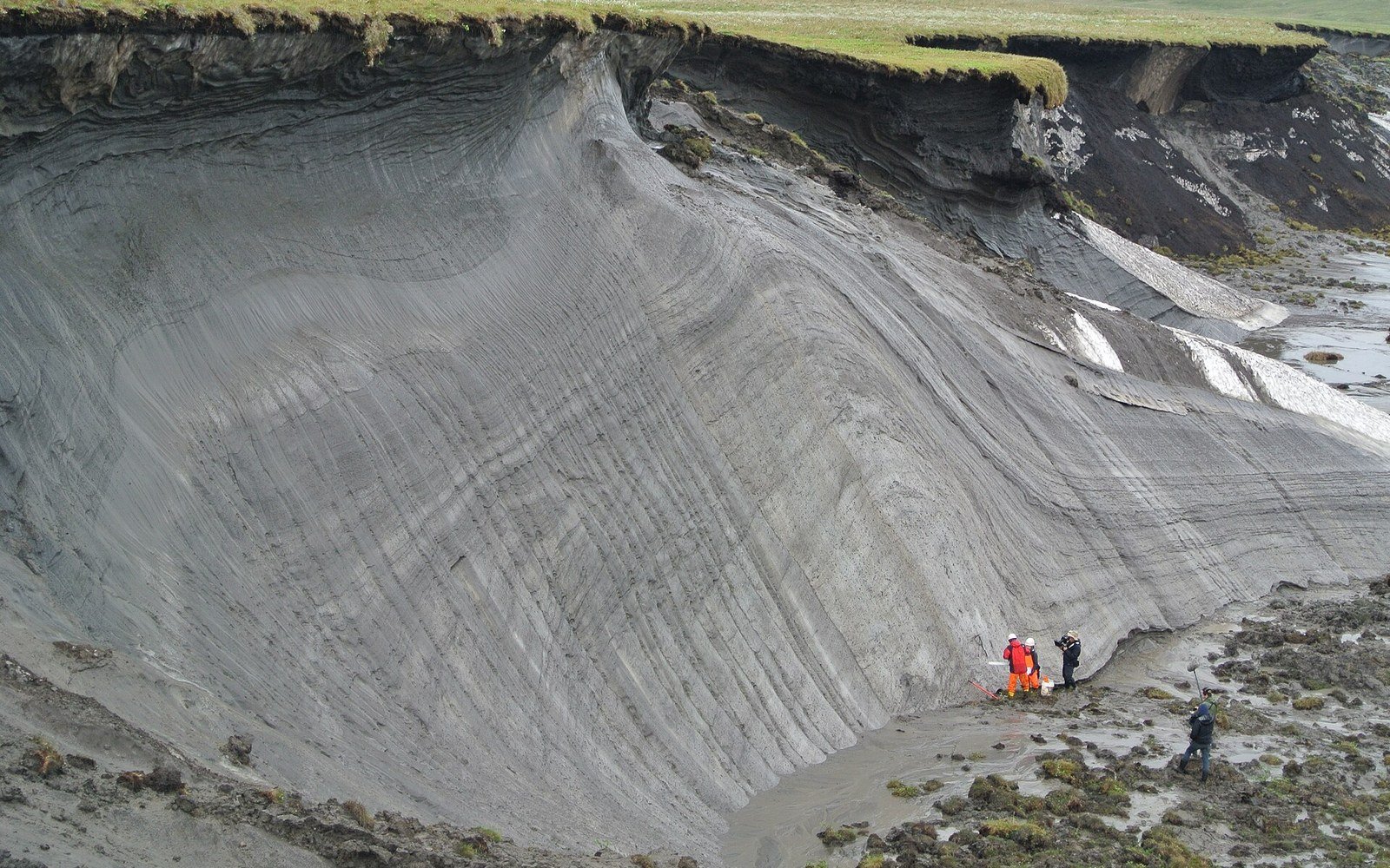
Below the trees and their accumulated litter lies the accounting that makes biogeographers pay attention. The boreal's cold, waterlogged soils decompose organic matter slowly. Peat accumulates. Permafrost in the discontinuous and continuous zones further east locks carbon into the ground. The boreal and the peatlands embedded in it are estimated to hold around 30–40 percent of all terrestrial carbon, a stock built over thousands of years by a metabolic imbalance: production slightly ahead of decomposition, year after year.
What sets the northern edge
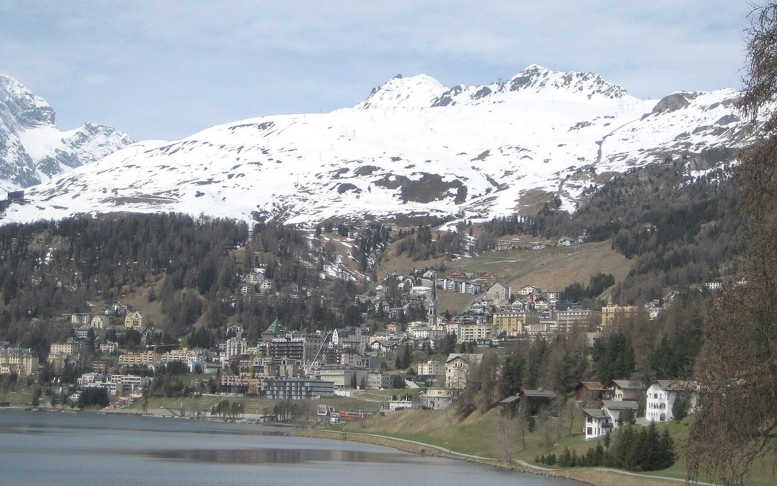
The northern boundary of the boreal is not drawn by winter cold — the Siberian interior reaches −60 °C and still carries closed-canopy forest. The limit is set by growing-season warmth, specifically the number of degree-days above a threshold that allows cambial growth. Where that falls below what a tree requires to complete annual wood production, the forest gives out here and open tundra begins. The boundary shifts with latitude and aspect, and on a single hillside in the Scandes you can cross from boreal forest to alpine heath in four hundred metres of elevation.
Measuring this boundary is empirical work. Ecologists run transects from closed canopy into the transition zone, recording crown cover at fixed intervals and logging air and soil temperature throughout the growing season. The southern edge is less clean — it grades into temperate mixed forest without a crisp threshold — but the northern one is sharp enough that a GPS track and a temperature logger can locate it to within a few hundred metres. It is a boundary drawn by heat accounting, not by climate politics or mapping convention, and it moves when the accounting changes.