Section 1 of 4
What decides the edge
Why a boundary sits where it sits, and what moves it.
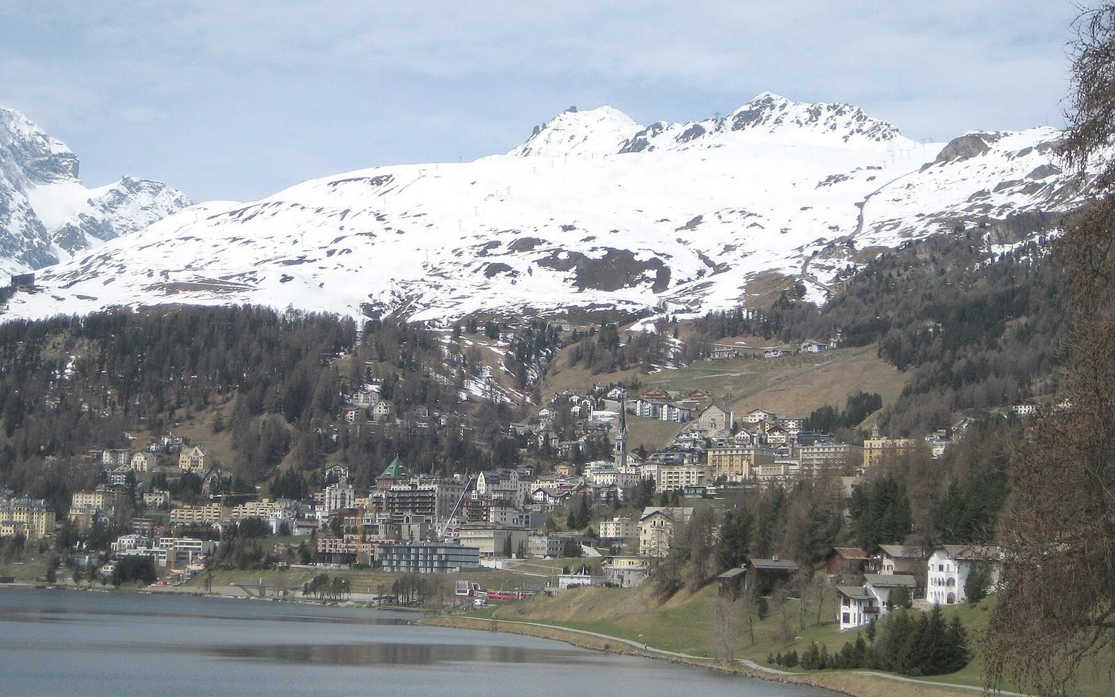
Treeline altitude answers to growing-season soil warmth, not to winter minimum.
Photo: Tree line above St. Moritz · Wikimedia Commons
5 guides in this section
- Forest gives out here, and not because the cold begins
The treeline tracks growing-season warmth rather than winter minimum, which is why it sits at wildly different altitudes at the same latitude.
- One slope, four hundred metres of climb
A single hillside can cross three vegetation zones, and the transitions are sharper than any map suggests.
- A boundary that moves twice a day
The intertidal is the only habitat boundary that is re-drawn every six hours, and the zonation on the rock records it exactly.
- The Sahel is a gradient, not a line
Between desert and savannah the change is continuous, and where you draw it depends entirely on the rainfall threshold you pick.
- Fire holds the line
Savannah persists because burning and grazing prevent canopy closure; remove both and it becomes woodland within decades.