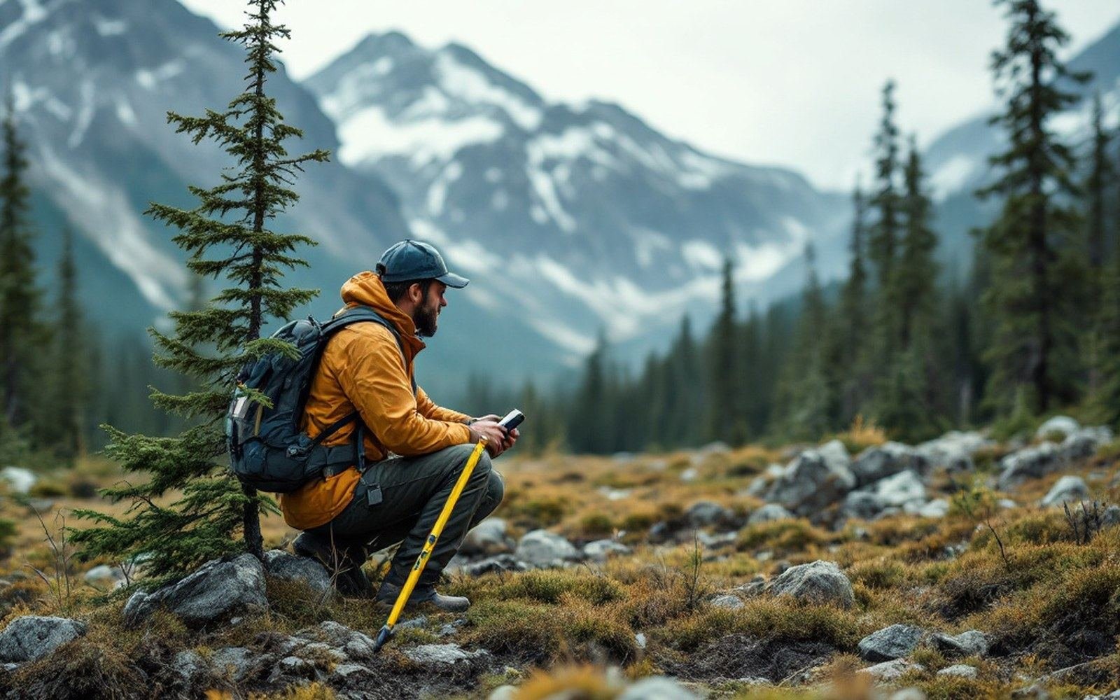
Above the last stems the rock, the wind and the rainfall are much the same. What runs out is the length of the season in which a seedling can put on enough wood to survive the winter that follows. The threshold is a soil temperature, and it is measurable.
The uppermost qualifying stem on a transect is the datum; everything above it is recorded as open ground.
Every biome here is defined by a number. Every number has a place where it runs out. Those places are the subject.
Remove the predator, the urchins increase, the kelp is grazed off and the forest becomes barren rock. It is a documented sequence rather than a metaphor, and it is the clearest case of a habitat that exists because something builds it.
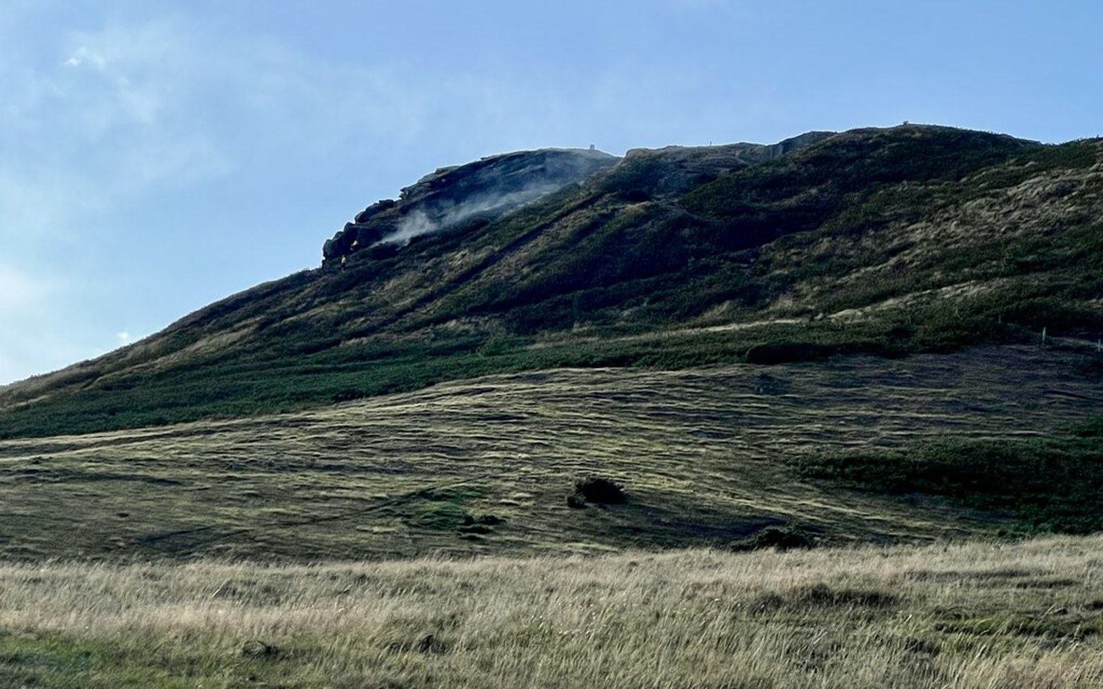
Savannah is held open by burning and by grazing. Remove both and the canopy closes; what stands there a few decades later is woodland, and it is no longer the same biome. The experimental burn plots at Kruger have been running long enough to show it plot by plot.
Photo: Grassland fire - geograph.org.uk - 8144850 · Wikimedia Commons
A boundary exists on a map because somebody walked a transect and wrote down what was growing at each station. The limits of that method are part of the subject, and the three guides above are about those limits as much as the method.
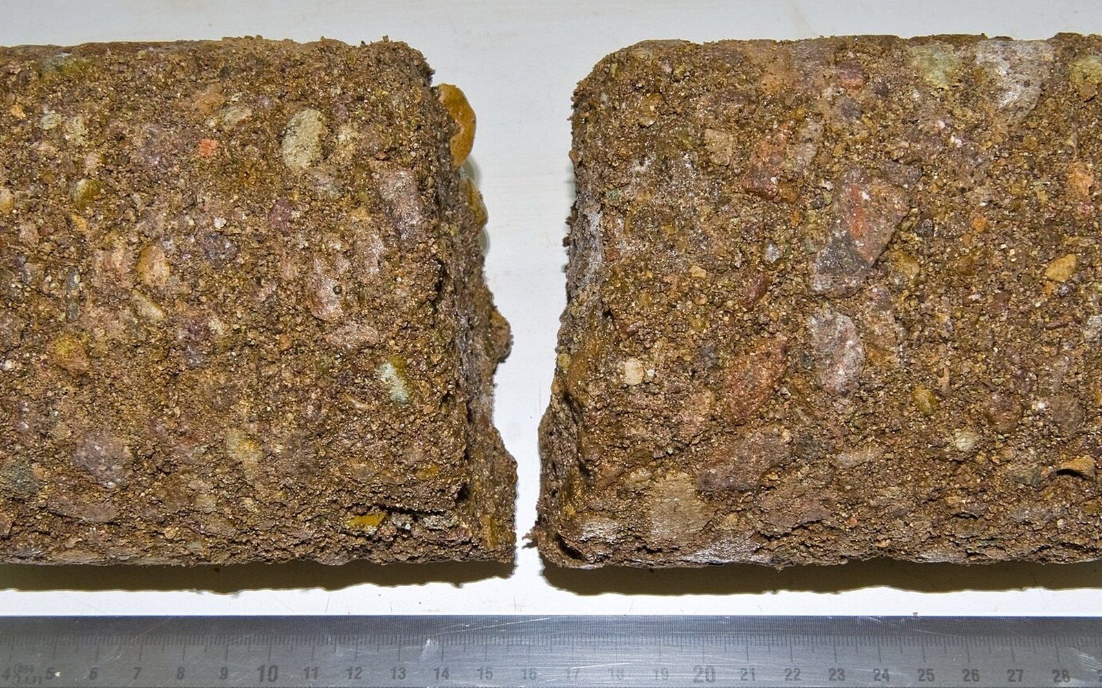
A core is logged before it warms. The depth at which the ground stays frozen is the figure the map is drawn from.