What the dam actually does to water
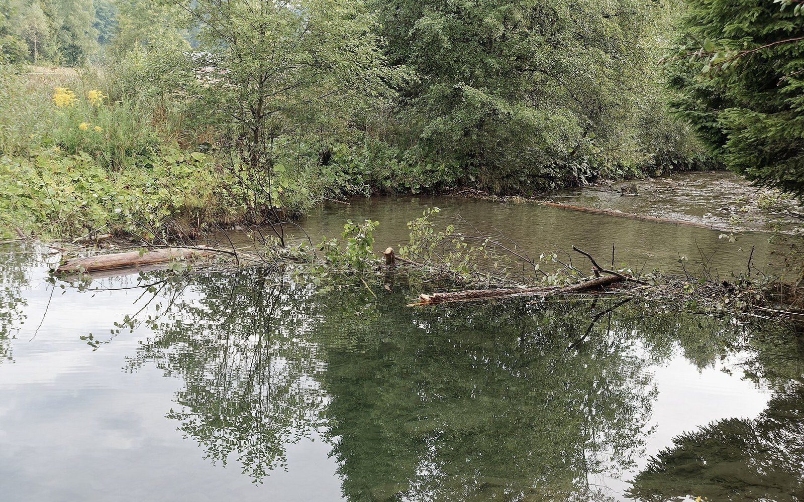
The engineering is simple. A North American beaver (Castor canadensis) or Eurasian beaver (Castor fiber) fells woody material across a channel, packs it with mud and debris, and raises the local base level — the lowest point to which that stretch of stream can erode. Behind the dam, water backs up and spreads laterally into the floodplain. The water table in the surrounding soil rises to meet it, sometimes within days. Soils that were dry between rain events become permanently saturated. Meadow plants give way to sedge and rush; willows colonise the banks because their roots can now reach moisture through a dry summer. The pond's surface also loses heat slowly, buffering the downstream temperature.
The change is not confined to the pond. Downstream, the dam traps sediment that would otherwise travel with the current, so the channel below runs clearer and cuts less actively into its bed. Upstream, silt dropped at the pond's inlet raises the valley floor by millimetres per year — measurable over a decade with a sediment core or a simple series of stakes. The backwater effect can extend surprisingly far: ponds on low-gradient streams raise the water table across hundreds of metres of riparian corridor.
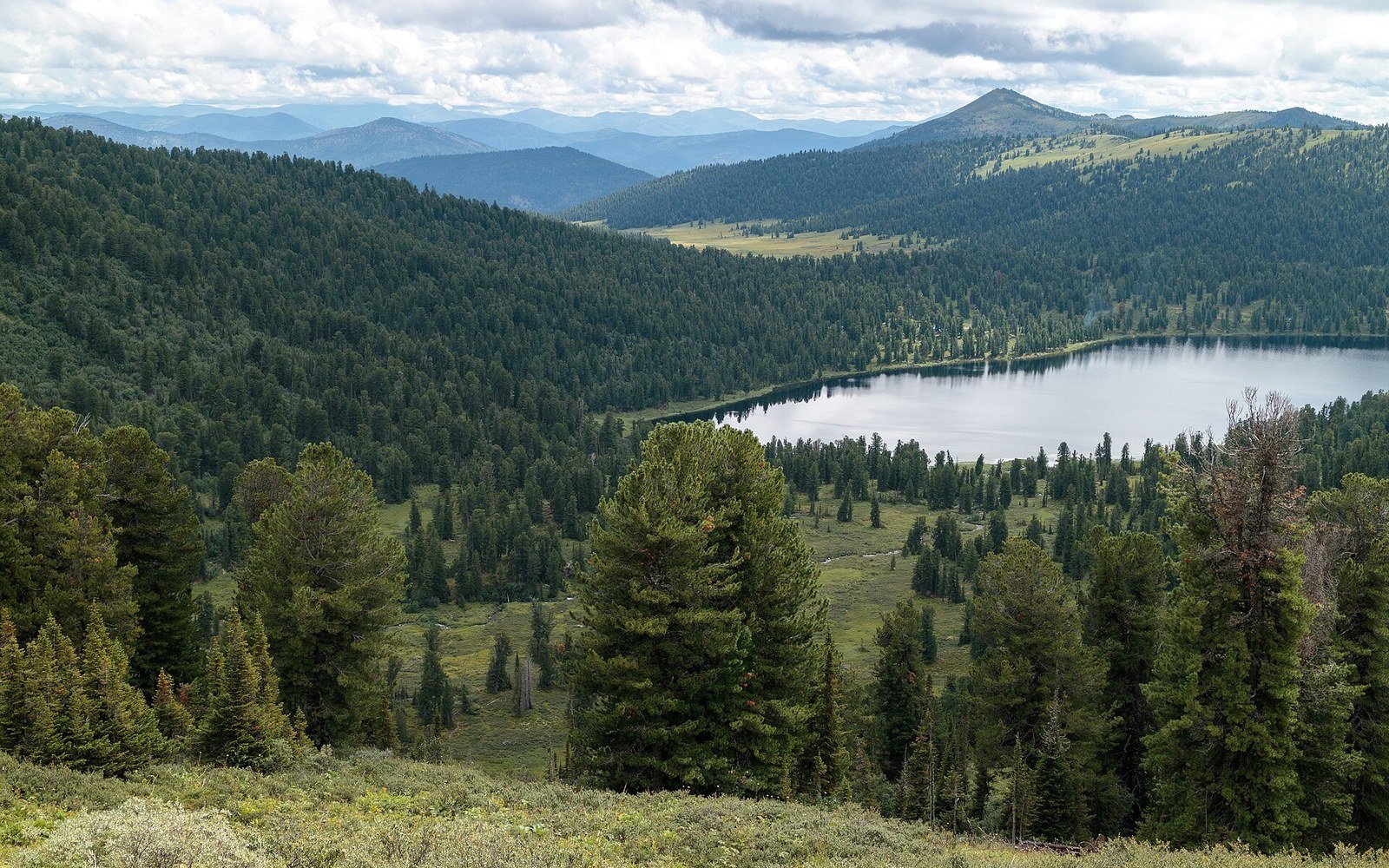
Boreal forest to the horizon, holding an enormous carbon store and a very small population. See: The largest land biome, and almost nobody in it
Photo: Ergaki, Taiga in Siberia, Dark coniferous forest, Sayan Mountains, Russia · Wikimedia Commons
Measuring the reset
Field measurement treats a beaver pond the way a geomorphologist treats any impoundment. A transect of shallow wells driven into the riparian soil beside the pond tracks the water table hourly; a staff gauge at the dam face gives pond stage; a turbidity sensor at the outlet logs suspended sediment load. Together they define the pond's hydraulic signature — what it does to flow timing and sediment yield per unit of rainfall. The USDA Forest Service has documented how beaver-pond complexes in incised stream systems can aggrade — raise — their channel beds by more than a metre over decades, reversing erosion that took centuries.
The species list shifts in a pattern that follows the water. Amphibians move in fast: the still, shallow margins suit egg-laying better than turbulent riffles. Waterfowl use the open water. Brown trout and brook trout redistribute themselves — some studies record higher biomass below the dam, in the clearer, cooler water; others find the silt-laden pond margins unfavourable. The key variable is pond age. A fresh dam produces turbid water and disturbed substrate. An established pond — five years old, ten — develops structure: submerged wood, dense emergent vegetation, stratified depth zones. Each stage supports a different community.
When the dam fails or is abandoned
Beavers abandon a pond when local food supply — the woody bark they eat — is exhausted. The dam, no longer maintained, begins to leak and eventually breaches. This is where the geomorphological legacy becomes most visible. The drained pond floor is a flat, fine-grained deposit known as a beaver meadow, or in older American literature simply a "meadow." It is richer in organic matter than the surrounding mineral soil, holds moisture longer, and supports a distinct plant assemblage quite unlike either the pond that preceded it or the upland forest around it. The channel, returning, cuts a new path through that soft fill — often a wandering one, because the old riffle structure is buried and the gradient is now lower than it was before impoundment.
In landscapes where beavers were hunted to regional extinction — as happened across much of Europe and North America — the abandoned meadows persisted long after the animal was gone. Pollen cores taken from such sites in the Scandes and in Siberia preserve the vegetation sequence: forest to pond margin to meadow, each layer readable as a chapter in hydraulic history. The dam is gone but the landform remains, and the water table it set is still, in a measurable sense, running the landscape.