Section 4 of 4
The people who stand on the line
How a boundary is actually recorded.
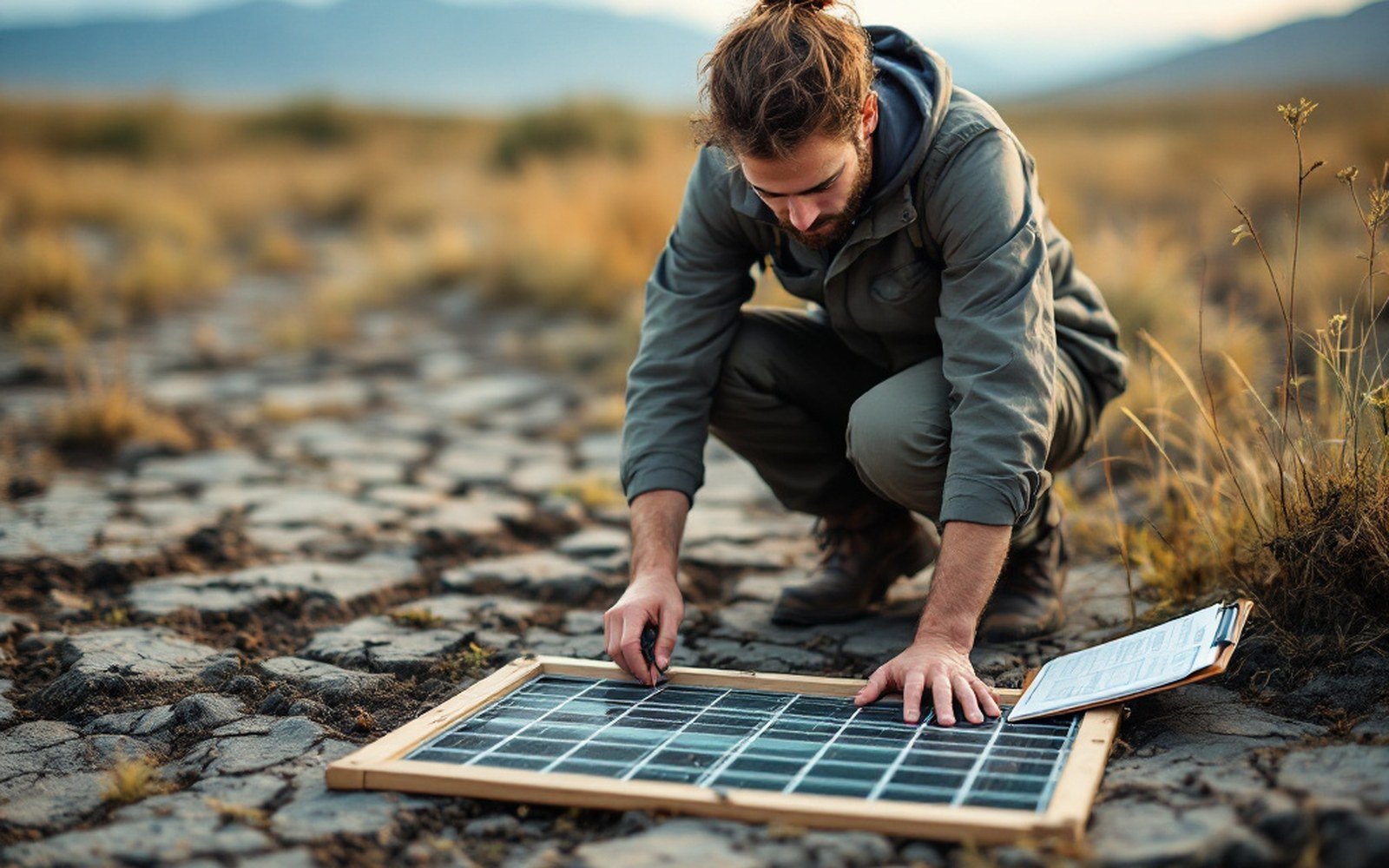
A quadrat fixes the square metre, so the same ground can be counted again years later.
3 guides in this section
- The people who stand on the line
A biome boundary exists on a map because somebody walked a transect and recorded what was growing at each point.
- Six things picked up in the field
Quadrat, auger, hand lens, tape, GPS and notebook — the instruments that produce most of what we know about where habitats stop.
- What a transect cannot see
A line samples a line; boundaries that are patchy at a hundred metres are recorded as sharp or missed entirely.